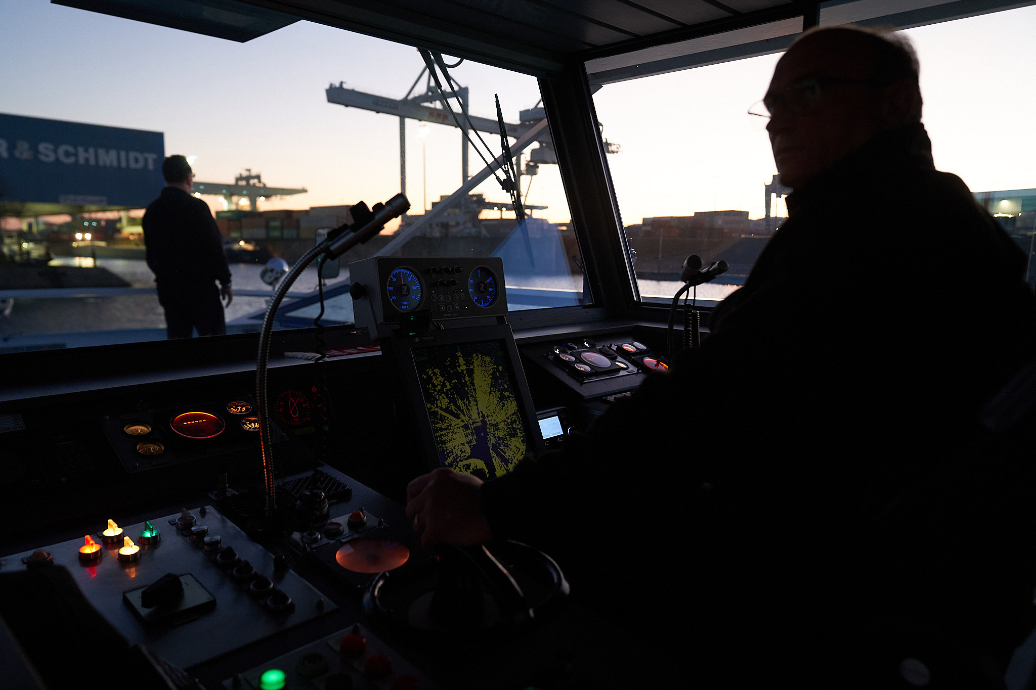
Nautical information
Current notices and closures
All current closures, construction sites, and restrictions at a glance.
Bridge clearances & height specifications
Our overview tables provide you with up-to-date information on bridge clearance heights and target depths within the port area. The values are regularly updated to ensure you always have accurate data.
| Bridge | Lowest point of the superstructure or gauge zero above sea level (NN) | Reference value for calculating clearance height* |
|---|---|---|
| a) Ruhrort gauge zero | 16,09 m | |
| Bridge over the port entrance | 34,20 m | 17,80 m |
| Vinckekanal Bridge | 33,10 m | 17,05 m |
| Harbor Canal Bridge | 33,80 m | 17,40 m |
| Bridge over Basin C | 38,20 m | 21,80 m |
| b) Duisburg | ||
| Pipe bridge over the Outer Harbour | 37,80 m | 20,90 m |
| Road bridge over the Outer Harbour | 37,00 m | 20,90 m |
| c) Rheinhausen | 20,90 m | |
| Energy bridge | 38,00 m | 20,75 m |
Harbor bed & loading draughts
The currently valid target harbor bottoms and gauge zero points can be found in the middle column of the table below.
The loading depth should be at least 30 cm less than the respective water depth (navigable water). Taking this regulation and the differences in water levels into account, the approximate values listed in the right-hand column apply. These are based exclusively on the Ruhrort gauge. In borderline cases, the permissible loading depth must be precisely calculated based on the target bottom levels, the current water level at the Ruhrort gauge, and the safety clearance (minimum 30 cm).
The target bottom levels indicate the minimum depth, which, however, is not present across the entire water surface in areas with sloped banks.
| Harbor basin | gauge zero above standard elevation (NHN) | Loading draft (approximate value) |
|---|---|---|
| a) Ruhrort gauge zero | 16,09 m | Respective water level at Ruhrort gauge |
| Port entrance, Vincke Canal, South Port, Ruhrort, Harbor Canal | 15,40 m | + 40 cm |
| Bunkering Port, Basin A, Basin B, Basin C | 15,90 m | |
| Shipyard Port | 17,05 m | – 120 cm |
| b) Duisburg | ||
| Parallel Port, Outer Port | 16,10 m | + 40 cm |
| c) Hochfeld | ||
| South Port and Kultus Port | 16,45 m | + 40 cm |
| d) Rheinhausen | ||
| Rheinhausen Port | 16,50 m | *Download bottleneck profile Rheinhausen |
| e) Meiderich Canal Port, Neuenkamp Ruhr Port | in accordance with the BinSchStrO, exception for turning basin = 280 cm |
Clear height of overwater projecting transshipment halls
The overview below provides reference values for calculating the clearance heights of transshipment halls projecting over the water. The respective water level at the Ruhrort gauge must be subtracted from the indicated values.
| Warehouses South Port, northern side at km 2.6 and 2.9 | 17,68 m |
| Warehouse Harbor Canal, southern side at km 2.85 | 17,50 m |
| Warehouse Basin C, southern side at km 4.4 | 17,70 m |
| Warehouse Basin C, northern side at km 4.0 | 19,14 m |
| Warehouse Parallel Port, southern side at km 0.6 | 19,20 m |
| Warehouse Parallel Port, southern side at km 1.3 | 20,40 m |
| Warehouse Outer Port, northern side at km 0.4 | 18,00 m |
| Warehouse Outer Port, southern side at km 1.45 | 26,10 m |
| Warehouse Parallel Port, northern side at km 0.5 | 17,00 m |
| Warehouse Parallel Port, northern side at km 0.7 | 19,60 m |
| Warehouse Vincke Canal turning area | 20,30 m |
Find ideal transport connections with the Routescanner
With Routescanner, you can efficiently identify the most suitable transport routes for your shipments. This digital platform not only offers a comprehensive overview of available combined transport connections, but also displays the CO₂ footprint for each route – enabling you to plan both cost-effective and environmentally friendly logistics solutions.